
Showing 31 results
Archival description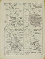
Map showing the political development of Anglo-Saxon England
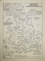
Map, 'England during the reign of King Æthelstan (924-39)'

Map, 'England during the reign of King Edmund (939–46) and King Eadred (946–55)'

Map, 'England during the reign of King Eadwig (955-9)'
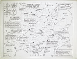
Map, 'Southern England during the reign of King Edgar (959-75)'

Map, 'The Fenlands in the tenth and eleventh centuries'
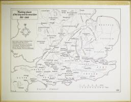
Map, 'Meeting-places of the king and his councillors 900-1066'
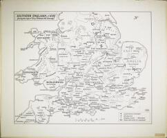
Map, 'Southern England, c. 1000 (during the reign of King Aethelred the Unready)'

Map, of places relating to 'Ælfric, monk of Winchester, mass-priest at Cerne, Dorset, and Abbot of Eynsham, Oxfordshire'

Maps of Viking activity during the reign of King Æthelred the Unready, maps I–IIc

Print of Theodore Roosevelt with the Vice-Chancellor Arthur James Mason after a photograph by Messrs. Scott & Wilkinson

Map of Viking activity during the reign of King Æthelred the Unready, maps III–IVc
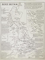
Map, 'Bede’s Britain c. 700'
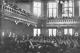
Print of Theodore Roosevelt at the Union after a photograph by J. Palmer Clarke
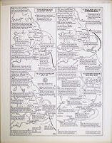
Maps of Viking activity during the reign of King Æthelred the Unready, maps V-VIII
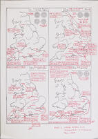
Drafts and photocopies of maps of Viking activity during the reign of King Æthelred the Unready
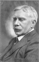
Print of A. C. Benson after a photograph by V. H. Mottram
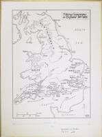
Map, 'Viking Campaigns in England 991-1005'
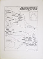
Map, 'Places named in the surveys of the Archbishop of York’s estates at Sherburn-in-Elmet, Otley, and Ripon, c. 1020'
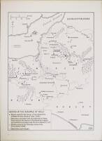
Map, 'Estates of the Bishopric of Wells'
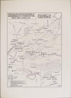
Map, 'Churches and estates belonging to Regenbald of Cirencester, Priest and Chancellor'
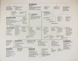
Genealogical chart of Anglo-Saxon kings from the 9th to the 10th centuries
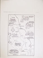
Copy of 'Rosemary's Major Digs'
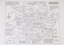
Master copies of Anglo-Saxon maps for photocopying to A3 and A4

Map showing the probable location of Clofesho
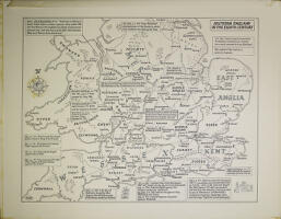
Map, 'Southern England in the eighth century'
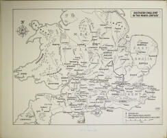
Maps, 'Southern England in the ninth century'
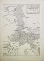
Map, 'From England to Rome in the ninth century'
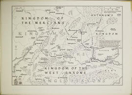
Map of the Kingdom of the Anglo-Saxons
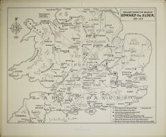
Maps, 'England during the reign of Edward the Elder, 899-924'